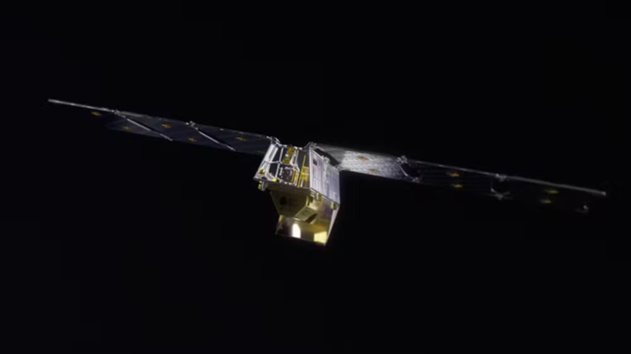
The first satellite of a network funded by Google to monitor forest fires has established contact with Earth. The device was launched from the base of the Vandenberg, California, the United States.
The Firesat network uses artificial intelligence to analyze data in real time and compare it with historical recordings. This allows you to differentiate real interference burns, such as light reflexes or technical failures.
Data can be used by firefighters from around the world
- New satellite launches of Earth Fire AllianceThe non -purpose organization created to coordinate the project, is scheduled for 2026.
- It is expected that the complete constellation, with more than 50 units, must operate by 2030.
- To date, Google has invested $ 13 million in the project.
- The idea is to stimulate the use of AI to prevent forest fires.
- According to the technology giant, system data will be made available free of charge to firefighters and emergency teams around the world, including Brazil.
Learn more
The initiative promises to revolutionize the surveillance of forest fires
A series of preliminary tests with interior joy lights has demonstrated the high precision of the system. The researchers even equipped a sensor sensor to assess performance and also had positive results.
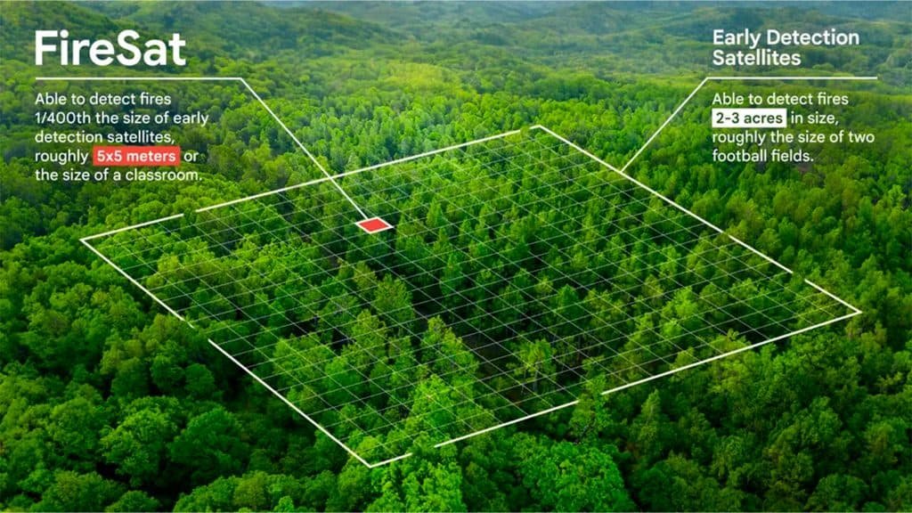
According to Google, one of the greatest difficulties of fighting fire involves surveillance. High resolution images often have a low upgrade frequency, while faster updates generally offer a low definition.
In some cases, the data can take up to 12 hours to renew, which alters any kind of action against burning. The new system, however, promises to update the images every 20 minutes, covering any point on the planet.


Add a Comment